The Indira Priyadarsini Pench National Park is located in Seoni and Chhindwara districts & The Pench Mowgali Sanctuary is confined to Kurai block of Seoni district. The buffer area includes part of Reserve and Protected Forests of South Seoni Division in Seoni district and East and South Chhindwara Divisions of Chhindwara district. The Core Area / Critical Tiger Habitat of Pench Tiger Reserve is situated at the following geographical coordinates:
|
Longitude |
79° |
08′ |
51″ to 79° |
31′ 55″ |
E |
|
Latitude |
21° |
38′ |
55″ to 21° |
53′ 52″ |
N |
The Core Area of Pench Tiger Reserve is comprised of Indira Priyadarshini Pench National Park and Pench Mowgli Sanctuary.
The Total Core Area of Pench National Park, Seoni is 411.330 sq. km., the detail is as following –
|
S.No. |
Status |
Area in sq. km. |
|
1 |
Indira Priyadarshini Pench National Park |
292.857 |
|
2 |
Pench Mowgli Sanctuary |
118.473 |
|
Total |
411.330 |
|
The district wise break up of Core area is as below:
|
Status |
District Seoni (Area in sq. km.) |
Area in sq. km. (Area in sq. km.) |
Total (Area in sq. km.) |
|
National Park |
145.568 |
147.289 |
292.857 |
|
Sanctuary |
118.473 |
– |
118.473 |
|
Total |
264.041 |
147.289 |
411.330 |
Legal Status :
The Indira Priyadarshini Pench National Park and Pench Mowgli Sanctuary forming Core area of Pench Tiger Reserve are finally notified National Park & Sanctuary. The legal status of the Core Area is as following –
|
S. No. |
Protected Area |
Reserved Forest (in ha) |
Protected Forest (in ha) |
Revenue Land (in ha) |
Total (in ha) |
|
1 |
Core Area |
40228.400 |
626.500 |
278.100 |
41133.000 |
|
2 |
Buffer Area |
39070.628 |
7935.657 |
29823.940 |
76830.225 |
|
Total |
79299.028 |
8562.157 |
30102.040 |
117963.225 |
|


Pench National Park is located in the Seoni and Chhindwara districts of the state of Madhya Pradesh. The park is located to the south of Satpura hills.
The park area is covered with small hills and well-stocked teak mixed forest in the southern reaches of the Satpura Ranges. It is located on the southern boundary of Madhya Pradesh.
There are 10 villages in the national park, one inside the park (Fulzari) and nine on the periphery.
Pench forest is spread over Satpura mountain range in which other tiger reserves like Kanha National Park & Satpura National Parks are also situated.
The Pench Tiger Reserve located in the southern reaches of the Satpura hill ranges
Its habitat is principally made up of tropical-dry deciduous and dry-mixed deciduous forest – part of a pretty large band of forest that continues on to Nagpur in the south and Balaghat to the east.
The undulating topography supports a mosaic of vegetation ranging from moist, sheltered valleys to open, dry deciduous forest.
Over 1200 species of plants have been recorded from the area including several rare and endangered plants as well as plants of ethno-botanical importance. Teak is abundant and bamboos are sparse, and restricted to the valleys.
The flora of Pench Tiger Reserve comprises mainly of Southern Indian tropical moist deciduous forest and tropical dry deciduous teak.
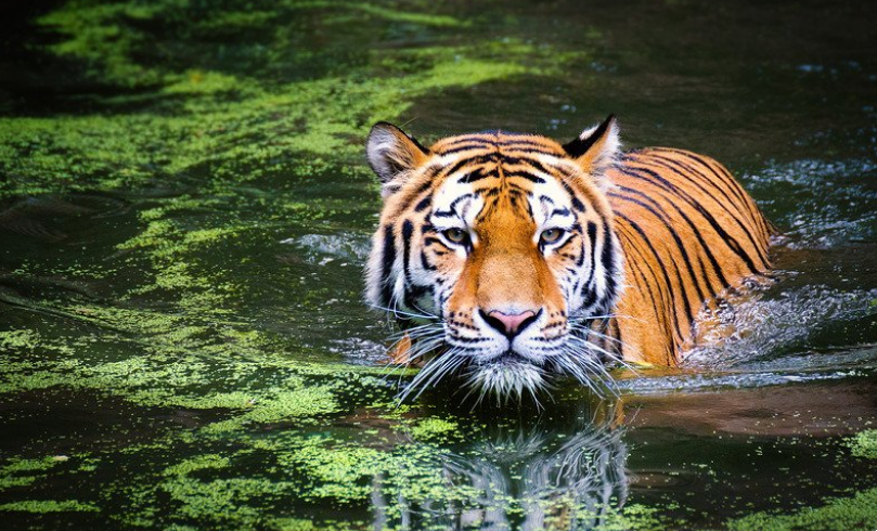
Water bodies are found in the form of streams and ‘nallahs’. Most of them are seasonal and meander in full zest during the monsoons.
Pench River, which serves as the major water source, desiccates or dries up in April end. Then, water pools known as ‘dohs’ serve as water suppliers for the fauna of the park, along with Pench Reservoir.
About 54 Km area of park is submerged into Pench river water due to hydroelectric Totladoh dam on it.
Elevation ranges from 425 to 620 meter from MSL
Area
WhatsApp us