Panna National Park is located at a crucial intermediate forest belt where Cape Comorin, originating from the south is fragmented and is the origin point of the Gangetic plains.
Panna National Park is strategically located at the northern most tip of the natural teak forests and the eastern most tip of the natural Kardhai (Anogeissus pendula) forests.
The life line of the area, the Ken river , which relentlessly flows through the park from south to north, is home for Gharial and Mugger, found only in the Indian subcontinent and other aquatic fauna and is one of the least polluted rivers and is also a tributary of Yamuna It is a perennial water source for villages on either side. It is one of the sixteen perennial rivers of Madhya Pradesh and is truly the life line of the park as well as the neighboring areas. The landscabe of Ken offers some of the most spectacular scenery to the visitor while it meanders for some 55 km through the reserve & is a primary habitat for the flora of Panna.
Topography
The Ken river is a tributary of the Yamuna that flows north-south 55 km. through the park, forming a boundary between the Panna and Chhatarpur districts. It is a perennial water source for villages on either side. In the Chhatarpur district, there are a series of hills and plateaus of the Chandranagar Range. The Hinouta plateau is one of the most virgin areas of the reserve owing to the relocation of three villages from this area in the 1980s.
The terrain of the park is distinctively illustrated by extensive plateaus and gorges. The park has a mixed blend of topography and can broadly be divided into three distinct tablelands on Panna side:
the upper Talgaon Plateau
the middle Hinnauta plateau
the Ken valley
Series of oscillating hills and plateaus rise on the other side of Ken river in the neighboring Chattarpur district.
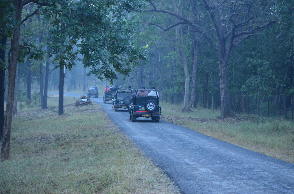
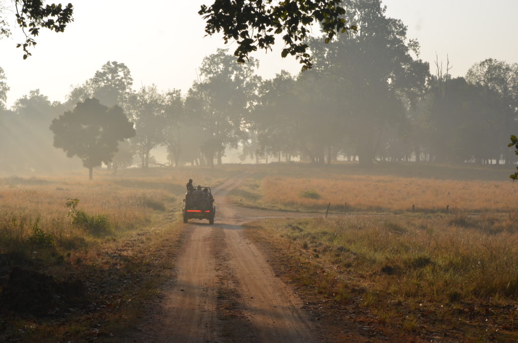
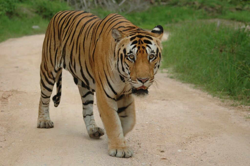
Panna National Park is a explicative tiger habitat located amidst the Vindhya Hills of northern Madhya Pradesh and fragile though dynamic dry deciduous forest is a nature lovers paradise.
In the Chhatarpur district, there are a series of hills and plateaus of the Chandranagar Range. The Hinouta plateau is one of the most virgin areas of the park owing to the recent relocation of three villages from this area in the 1980s.
The park along with the surrounding territorial forest area of North and South Panna divisions is the only existing refuge of wildlife habitat remaining in North Madhya Pradesh in otherwise fragmented and barren forest landscape of the area.
Forests of Panna National Park along with Ken Gharial Sanctuary and adjoining territorial divisions form a significant part of the drainage basina of the Ken river with a total length of 406 kmand runs for about 72 kms through this geographical location.
Apart from their aesthetic and conservation values, the forests of Panna showcase vivid verticals of tourism resources capable of providing rich and diverse cultural, historical, eco tourism, spiritual, wilderness and adventure experience. Panna offers tremendous tourism potential being situated very close to the historic temple down of Khajuraho, an international tourism destination.
Geo Details of Panna National Park
Total Area : 1645.08 sq. km.
Core area : 542.66 sq. km.
Buffer : 1002.42 sq. km.
Ken Ghariyal Sanctuary : 78.53 sq. km.
Panna (Gangau) Sanctuary : 45.20 sq. km.
Longitude : 79045?E to 80009E
Latitude : 24027N to 24046N
Altitude : 211.2 metres (near Ken river,Compt. 228, Madla Range) to 540 metres (a hillock near Talgaon, Compt. 1340, Panna Range)
Geographic Landmarks : The reserve is located on either sides of Ken river which flows from south to north through the Lower Vindhyan sequences within the park.
Rainfall : 1100 mm, average
Connect with us
106, Rajul Landmark, Russel Square,Jabalpur,Madhya Pradesh, India