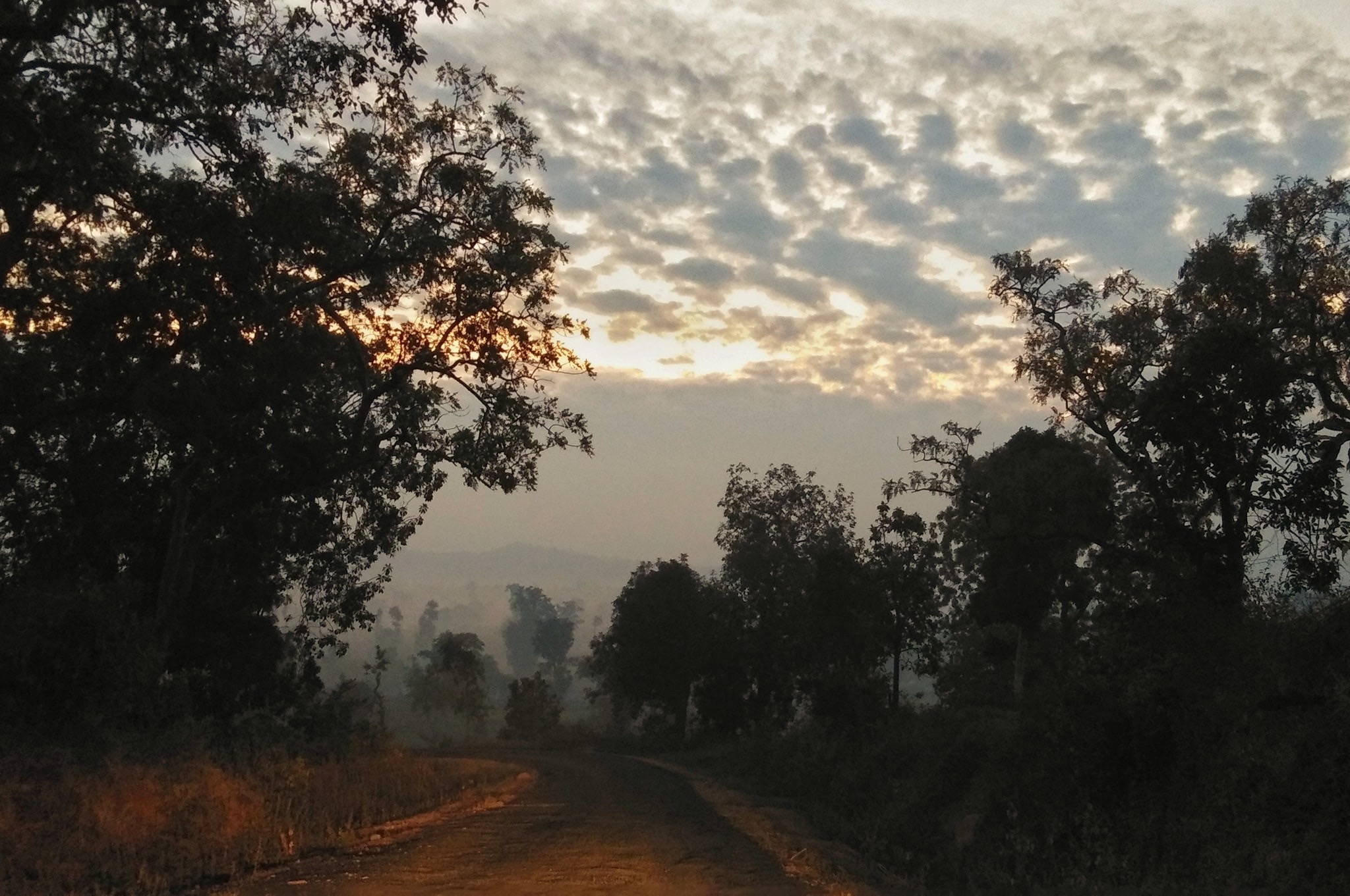
Kanha’s landforms support good multi-tiered forests. The various soil types are rich in humus. The Deccan trap is the principal geological formation of Kanha.
Kanha is located in the central Indian highlands, which accounts for more than half of India’s forests. The park is located amidst the Maikal range which forms the eastern base of the triangular Satpura range.
Physiography of Kanha National Park
The Satpura Maikal Ranges
The Maikal range of hills runs along the eastern boundary of the Reserve. The range has many plateaux, locally known as ‘dadar’, and its elevation varies from 2,000 feet (600 m) to 3,000 feet (900 m) above sea level.
The Central Highland
The central Indian highlands are also the source of several important rivers like the Narmada and the Mahanadi which are also considered as the life line of the state. The two important rivers flowing through the tiger reserve are: the Banjar and the Halon.
Geographical Location
Longitude:80o 26’ 10” E to 81o 04’ 40” E
Latitude:22o 01’ 05” N to 22o 27’ 48”
Elevation 450m to 900m (above MSL)
Annual Rainfall:1400 mm
Temperature: Summer 11oC to 43oC, Winter -2oC ( inside the park ) to 29oC
Area of the Park
Core Zone
(Critical Tiger Habitat):917.43 sq. km.
National
Park: 22.57 sq. km.
Buffer
Zone: 1134.32 sq. km.
Total area
of the Kanha National Park : 2074.32 sq. km.